Space Situational Awareness Services

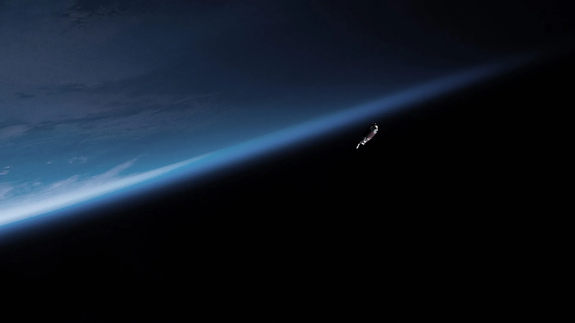
With more space debris and active satellites than ever before, the risk of collisions is increasing.

In a congested and contest space environment, more and more objects in all orbits, exponential risks are coming  from space operations, launch to orbital operations, debris and natural effects
Space to preserve to human kind.
Atlar Innovation-
Atlar Innovation-sp_bb-1
Atlar Innovation-certificacao-1-e1704281928489_bb-3
Atlar Innovation-popm-bb-3
Atlar Innovation-certificacao-1-e1704281928489_bb-1
Atlar Innovation-sp_bb-2
Atlar Innovation-popm-bb-2
Atlar Innovation-sp_bb-3
Atlar Innovation-popm-bb-1
Atlar Innovation-certificacao-1-e1704281928489_bb-2
Atlar Innovation-sp_bb-1
Atlar Innovation-certificacao-1-e1704281928489_bb-3
Atlar Innovation-popm-bb-3
Atlar Innovation-certificacao-1-e1704281928489_bb-1
Atlar Innovation-sp_bb-2
Atlar Innovation-popm-bb-2
Atlar Innovation-sp_bb-3
Atlar Innovation-popm-bb-1
Atlar Innovation-certificacao-1-e1704281928489_bb-2
Atlar Innovation-sp_bb-1
Atlar Innovation-certificacao-1-e1704281928489_bb-3
Atlar Innovation-popm-bb-3
Atlar Innovation-certificacao-1-e1704281928489_bb-1
Atlar Innovation-sp_bb-2
Atlar Innovation-popm-bb-2
Atlar Innovation-sp_bb-3
Atlar Innovation-popm-bb-1
Atlar Innovation-certificacao-1-e1704281928489_bb-2
Atlar Innovation-sp_bb-1
Atlar Innovation-certificacao-1-e1704281928489_bb-3
Atlar Innovation-popm-bb-3
Atlar Innovation-certificacao-1-e1704281928489_bb-1
Atlar Innovation-sp_bb-2
Atlar Innovation-popm-bb-2
Atlar Innovation-sp_bb-3
Atlar Innovation-popm-bb-1
Atlar Innovation-certificacao-1-e1704281928489_bb-2
sea level
2.000km
36.000km
>50.000km
leo

1336km -> Jason-3 and Sentinel 6 - Ocean topography measurement sats

Debris naturally decaying in 1000 years

Debris naturally decaying in 200 years

2009 Iridium-Kosmos colision

786 km -> Sentinel 2 - Earth imaging satellites

705 km -> Landsat - Earth imaging satellites

483 km -> Hubble Space Telescope

Larger constellations of satellites

418 km -> International Space Station (ISS) - Research space station

Debris naturally decaying in weeks

Debris naturally decaying in hours

High altitude balloons

Aircrafts

meo

23200 km -> Galileo - Navigation satellite
21500km -> BeiDou MEO segment - Navigation satellites
20200km -> GPS - Navigation satellites
19100km -> GLONASS - Navigation satellites

geo

METEOSAT -> Weather satellites
Himawari -> Weather satellites
GOES -> Weather satellites

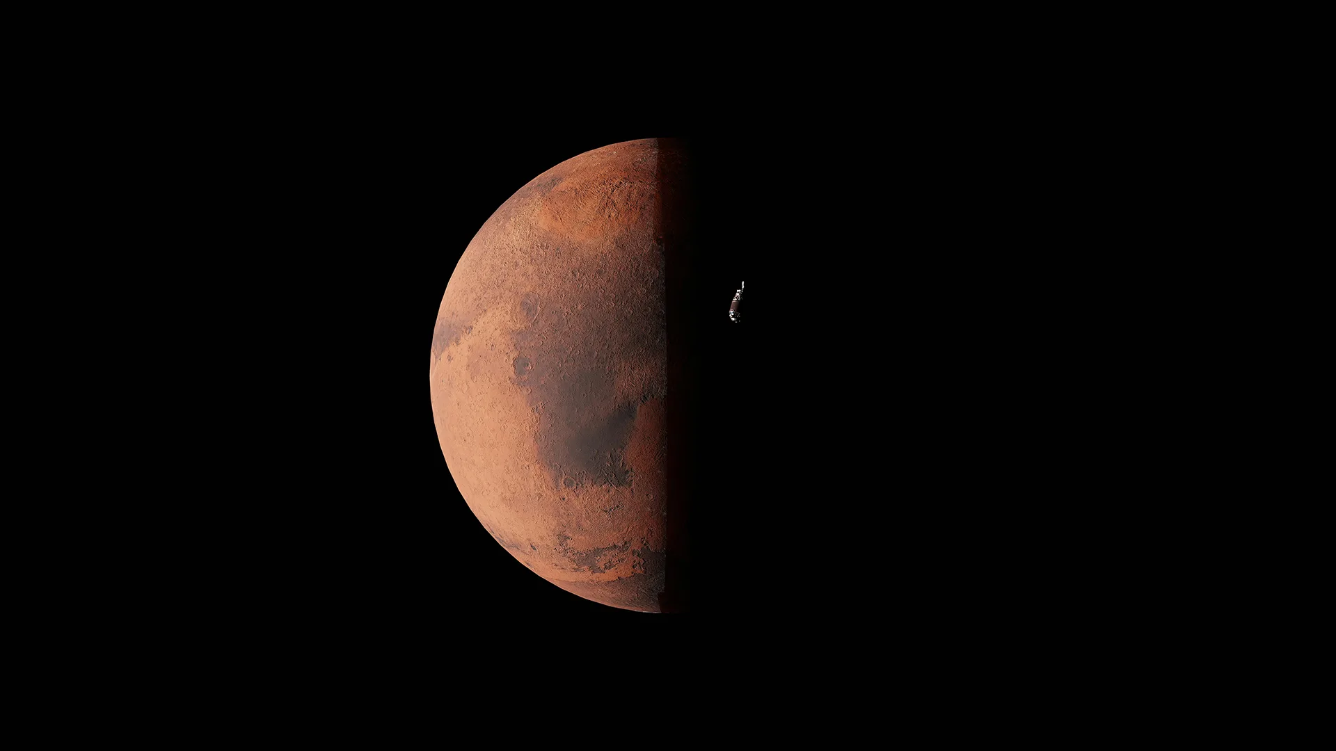
ATLAR’S SST PROGRAM AIMS TO GUARANTEE ITS OWN CAPACITY FOR MONITORING, CHARACTERIZING AND TRACKING OBJECTS THAT, MOVING IN CLOSE-EARTH ORBITS, MAY POSE A REAL DANGER TO SPACE INFRASTRUCTURES AND TO CITIZENS ON THE EARTH’S SURFACE, SUCH AS RE-ENTRY AND FALLING ON THE SURFACE OF OBJECTS COMING FROM SPACE.
The new way to guarantee orbital safety

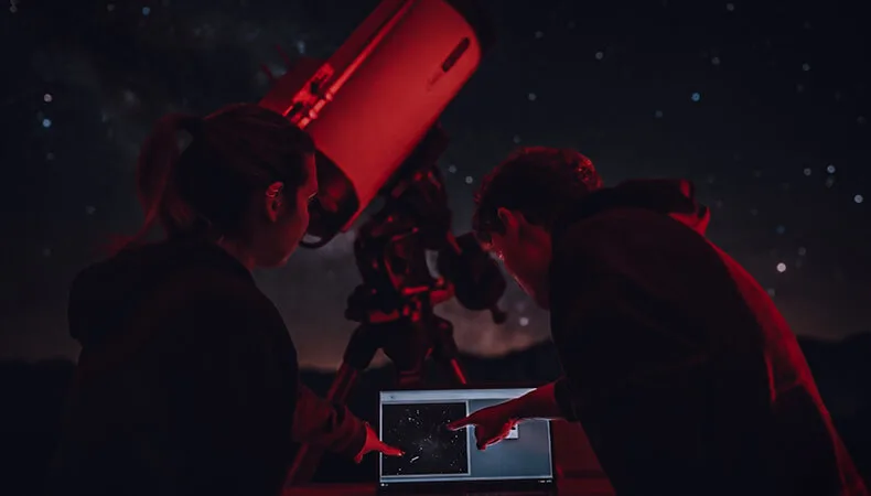
Atlar Space Operations Center (ASOC) is the nerve center of our sensor network, orchestrating data collection, processing, and operational control to ensure accurate space monitoring and resilient mission execution.

Global satellite operators spend €14 million annually on debris impact deflection manoeuvres.


More than 99% of cases are false alerts.

  • 
One of our mission is to reduce the number of false alerts;
  • 
And with that reduce greatly the costs of space traffic control.
Atlar Innovation-ASOC

ASOC

Atlar Space Operations Center (ASOC) stands as the nerve center of our global sensor network, enabling synchronized operations, situational awareness, and mission‑critical decision‑making across all orbital domains. ASOC supports accurate orbital predictions by integrating multi‑sensor data, performing continuous orbit determination, applying advanced propagation models, and delivering real‑time conjunction analysis for safe and responsible space traffic management.
Atlar Innovation-COPE

COPE

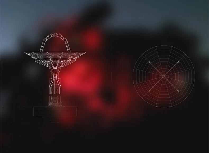
The Space Operations Center (COpE) constitutes the nerve center of the SST and is a fundamental element of the national SST network.